
Archaeological exhibition
The archaeological aspect of the project presents the “Ritual landscape of Murayghat” in the Madaba Archaeological and Folklore Museum. It shows the archaeological and landscape elements of the site and introduces several finds from 4 years of excavation and survey. It is a preliminary and flexible concept, as the museum will move in the next years to different premises (fig. 1-3).
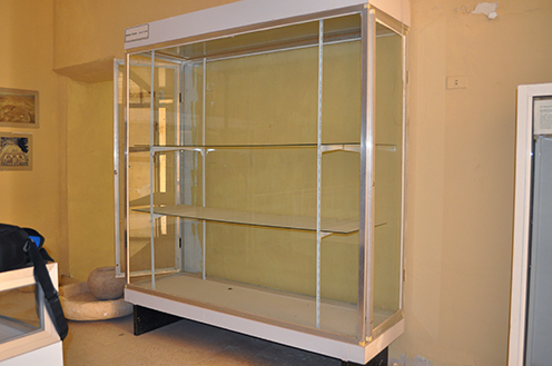
Fig. 1
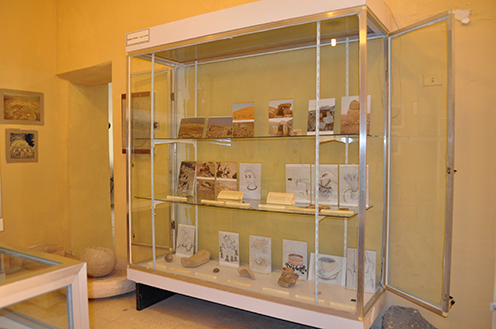
Fig. 2
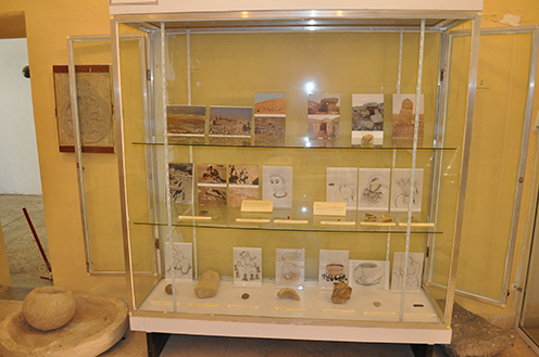
Fig. 3
The presentation in the museum should encourage people to visit the actual site (15 km outside Madaba), so a map how to get to the site and a plan of a dolmen trail are available (both in paper and digital). The trail will also be available at the Madaba museum homepage and the Madaba tourism homepage.
The site is introduced with texts and photos, while the finds are complemented by reconstruction drawings indicating how the blades, vessels or mace-heads might have been used (fig. 4). The texts are in English, but Arabic translations already exist and will be added soon. All materials for the exhibition have been locally bought and can be replaced.
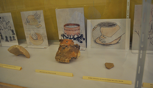
Fig. 4
A small dolmen has been built in the showcase (fig. 5 and 6) and some suitable stones have been placed outside the showcase, so that children can build their own dolmen. Another exhibit is the “find of the year”. The texts were written by Ditte Nedergaard Mikkelsen and the drawings done by Pernille Højfeld Nielsen.
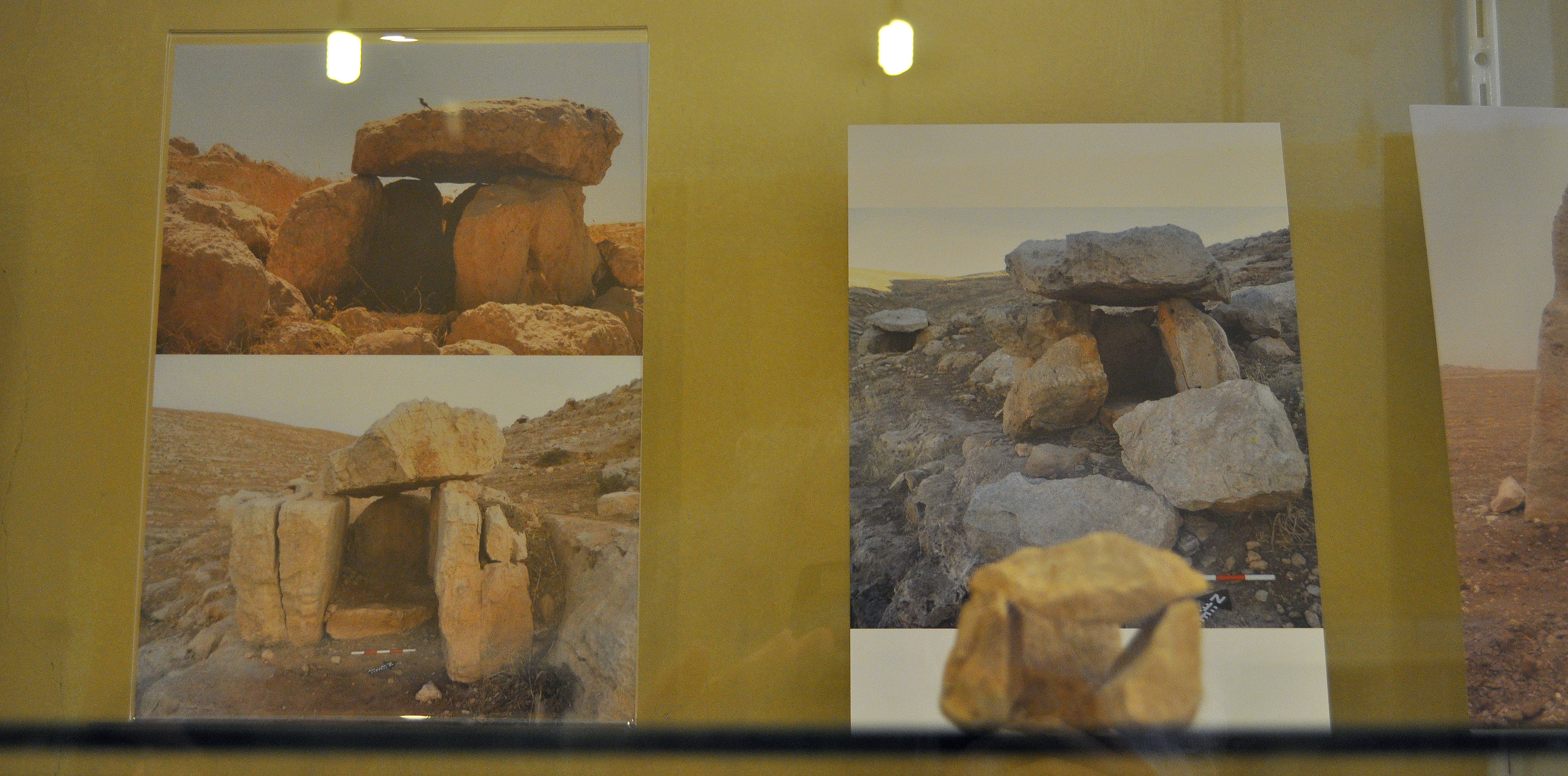
Fig. 5

Fig. 6
1. General Introduction to the site
The Ritual Landscape of Murayghat
Murayghat is an archaeological site southwest of Ma’in, with a large central knoll covered with standing stones and surrounded by several dolmen fields. The site is mostly from the Early Bronze Age (3700-2600 BCE) with a large Middle Bronze Age (2000-1600 BCE) resettlement.
The central knoll has ancient structures such as walls, horseshoe circles and rectangles, all made from large standing stones. Surrounding the central knoll are dolmen fields on at least four hills, where more than 120 dolmens have been recorded, along with multiple standing stones, caves, walls, roads and stone circles. Nearly all of these dolmens have a view to the central knoll, and the combination of these elements in the landscape is unique.
Since 2014 The Ritual Landscape of Murayghat Project (University of Copenhagen, project-director: Susanne Kerner) has excavated and systematically surveyed the area under the permission of the Department of Antiquities. This exhibition was developed by Ditte Mikkelsen (Lund University), the reconstruction drawings are by Pernille Nielsen, the photos by different members of the team. The exhibition has been established with the financial help of FACE (Denmark).
2. Example of short text in the showcase
Landscape
In the Murayghat landscape there is a dolmen field surrounding a central knoll on which are circles and rectangles made from large standing stones, which could indicate ritual activity. Dolmens shape a landscape and make a very visible statement about ownership. Evidence from the area indicates that the dolmens were built during the Early Bronze Age (EBA), but that the area was re-used again in the Middle Bronze Age (MBA). There are also signs of earlier and later use of the landscape. The area extends over 80 ha, but is currently threatened by gravel quarries.
3. Example of object description in the showcase
Stone disc fragment. Used for shearing and cutting, has sharp edges. Hole in the middle is for better grip. Made of flint. Date: Possible Late Chalcolithic.